

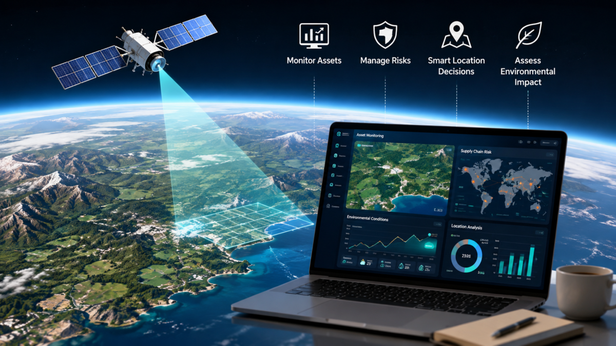

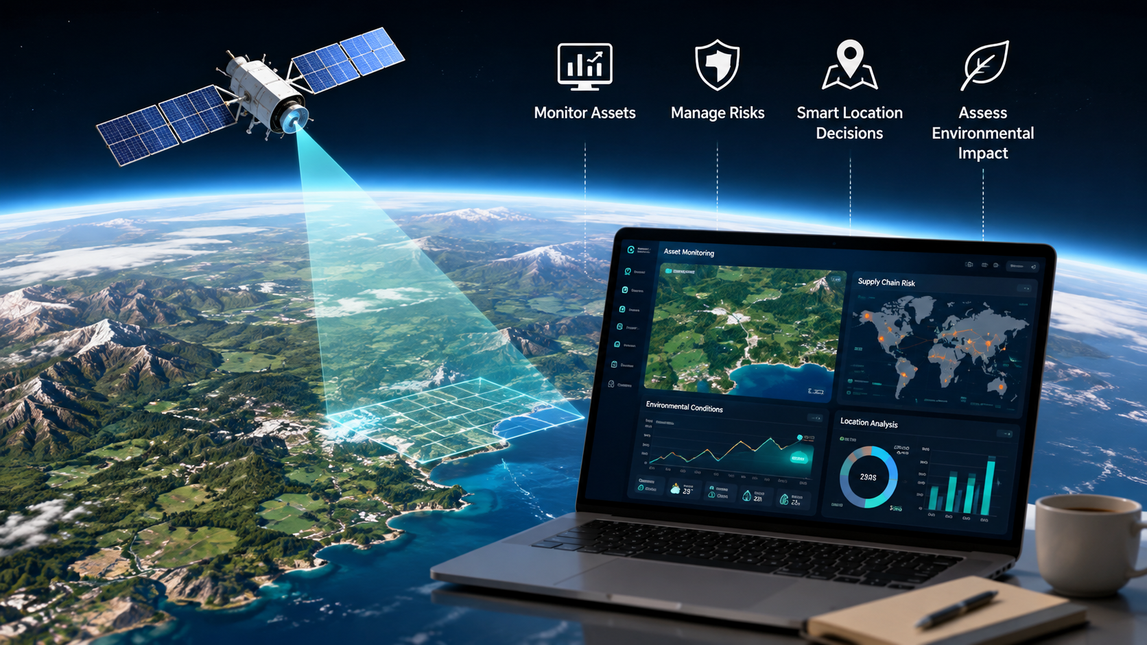
Modern businesses have access to more information than ever before, but useful decision-making still depends on obtaining the right data at the right time. Financial reports, customer behavior and market research can explain what is happening within a company, while satellite data offers something different: a detailed view of what is happening across the physical world.
Once largely associated with governments, scientific organizations and major corporations, satellite imagery is becoming increasingly accessible to businesses of different sizes. Companies can use Earth observation data to monitor assets, understand environmental conditions, assess supply chain risks and identify changes in markets. For organizations looking to make decisions based on current conditions rather than assumptions, this information can be particularly valuable.
Table of Contents
Making Satellite Data More Accessible
One of the biggest changes in the satellite industry has been the growing accessibility of imagery and geospatial information. Businesses no longer necessarily need dedicated teams to manage every stage of acquiring and processing satellite data.
Technology platforms can make it easier to incorporate imagery into existing systems. An Earth observation API, for example, can enable developers and businesses to integrate access to satellite and aerial imagery into their own applications and workflows. This can make Earth observation more practical for companies that want to automate processes or analyze geographic information alongside their existing business data. Instead of treating satellite imagery as a standalone resource, organizations can incorporate it into broader analytics and decision-making systems.
Monitoring Business Assets Remotely
Companies with assets spread across large geographic areas can face significant monitoring challenges. Sending employees to inspect every location regularly can be costly and inefficient, particularly when sites are remote.
Satellite imagery can provide an additional layer of visibility. Businesses may use it to observe changes around construction projects, infrastructure, agricultural land, energy facilities, or commercial property.
It does not eliminate the need for physical inspections. However, remote observations can help companies determine where attention may be required, allowing resources to be directed more effectively.
Understanding Supply Chain Risks
Modern supply chains often stretch across multiple countries and depend on complex networks of suppliers, ports, roads and production facilities. A disruption in one location can create consequences elsewhere.
Satellite data can help organizations build a broader understanding of these risks. Imagery may provide information about flooding, drought, severe weather impacts or changes around important infrastructure.
Agricultural businesses can also use Earth observation information to assess crop and vegetation conditions. Manufacturers and retailers, meanwhile, may incorporate geographic data into wider supply chain monitoring strategies. Combined with supplier information and logistics data, these insights can support earlier and better-informed responses to potential disruption.
Supporting Smarter Location Decisions
Location is a major factor for businesses involved in property, retail, construction and infrastructure. Satellite imagery can add valuable context when evaluating potential sites or analyzing existing markets. Historical and recent imagery can reveal changes in urban development, road networks, construction activity and land use. A business considering expansion into a particular area could use these observations alongside demographic, economic, and competitor research. Comparing imagery over time can be especially useful because it helps businesses understand not only what an area looks like today, but also how quickly it is changing.
Assessing Environmental Conditions
Environmental factors increasingly form part of business risk management. Flooding, wildfires, drought and other natural events can affect facilities, suppliers, agricultural production and transport routes. Earth observation data gives companies a way to examine conditions across large areas, including locations that may be difficult to assess quickly from the ground. Historical imagery can provide additional context by showing how landscapes or environmental conditions have changed over time.
For businesses with geographically dispersed operations, this broader perspective can contribute to more informed planning and risk assessment.